
Simlångsdalen - Halmstad
- Length
- 28 km
- Degree of difficulty
- Blue
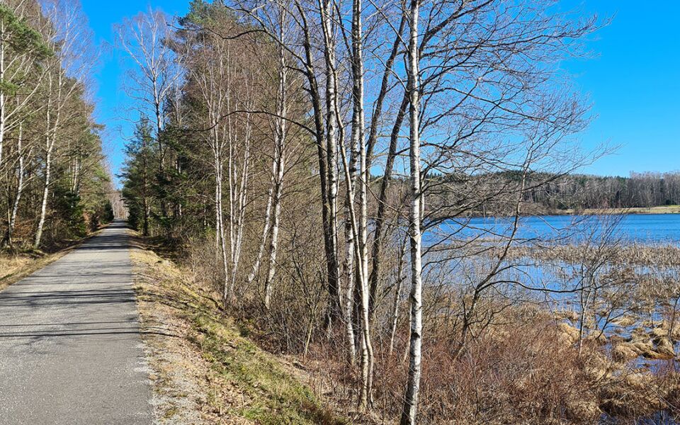
This section mostly follows the embankment of the old Bolmenbanan rail line, which operated from 1889 to 1966. The trail runs through the centre of Simlångsdalen, before turning down towards the embankment and passing the old station hamlets of Marbäck and Skedala. At Brogård, the trail turns down to Fylleån, following the river all the way to Hagön and then out onto Östra Stranden beach. The last stretch passes through an industrial area and along the Nissan river to the transport hub Halmstad Resecentrum.
Degree of difficulty Blue
Most of this section runs on the embankment of the old Bolmenbanan rail line. The route here is paved and there are no hills. In Brogård, the trail changes character as it joins the Fylleleden trail, following gravel roads and paths. The trail is quite steep in places, but is mostly an easy walk.
Sevärt på denna etapp:
Björkelund - Halmstad Naturskyddsförening
Boende i Halmstad
Destination Halmstad, +46 (0)35 12 02 00
Tallhöjdens Värdshus, +46 (0)35 702 45
28 km
Degree of difficulty
About Difficulty Grading
The grading is tailored for Swedish lowland trails that adhere to the quality criteria established by the national framework for hiking trails.
Even and firm ground: The terrain is generally flat. The hike requires no need to use your hands for support. No obstacles. Bridges are always present when crossing waterways.
Uneven and/or soft ground: Some changes in elevation. Certain sections may require hand support to maintain balance. There may be obstacles such as low stiles and short stairs. Minor obstacles like stones and roots. Boardwalks are present.
Loose or slippery ground combined with steep sections: Technical parts require hand support. There may be obstacles such as high stiles and longer stairs. Frequent sections with stones and/or roots. Boardwalks with deeper surrounding water.
Note: One or more of these features may be present along the trail section.
Blue
- Banvall
- 25-35 km
- Hallandsleden


Highlights along the section
Here are some of the sights and places to visit along the section.
Recommended hikes
Our recommendations for various hikes – short or long, with or without accommodation.
Show allNews
Here you will find information about what's new on the trail as well as current redirections and disturbances.
Continue on the trail
Share your experience
Share your experience by tagging your photos with #hallandsleden.