
Foto: Annette Tillgren, Hjörneredssjön
Knäred - Ekegården
- Length
- 25 km
- Degree of difficulty
- Blue
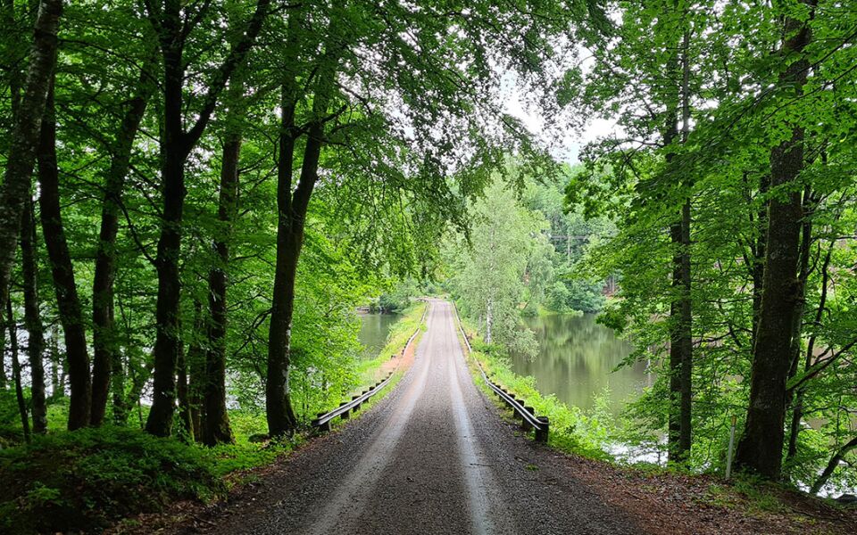
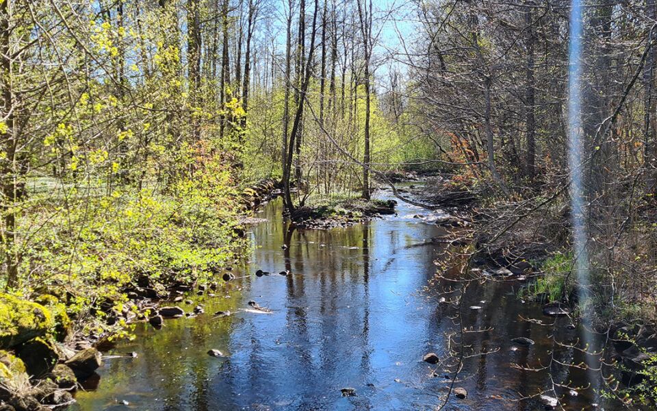
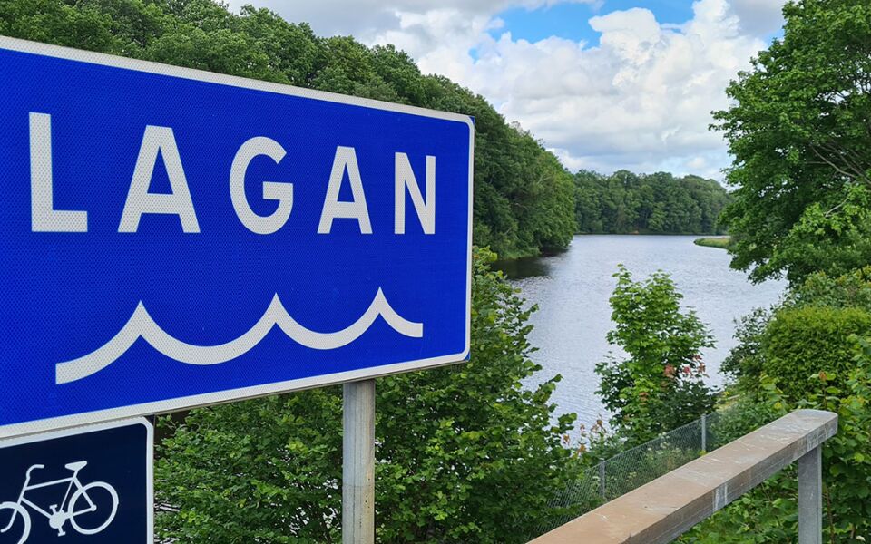
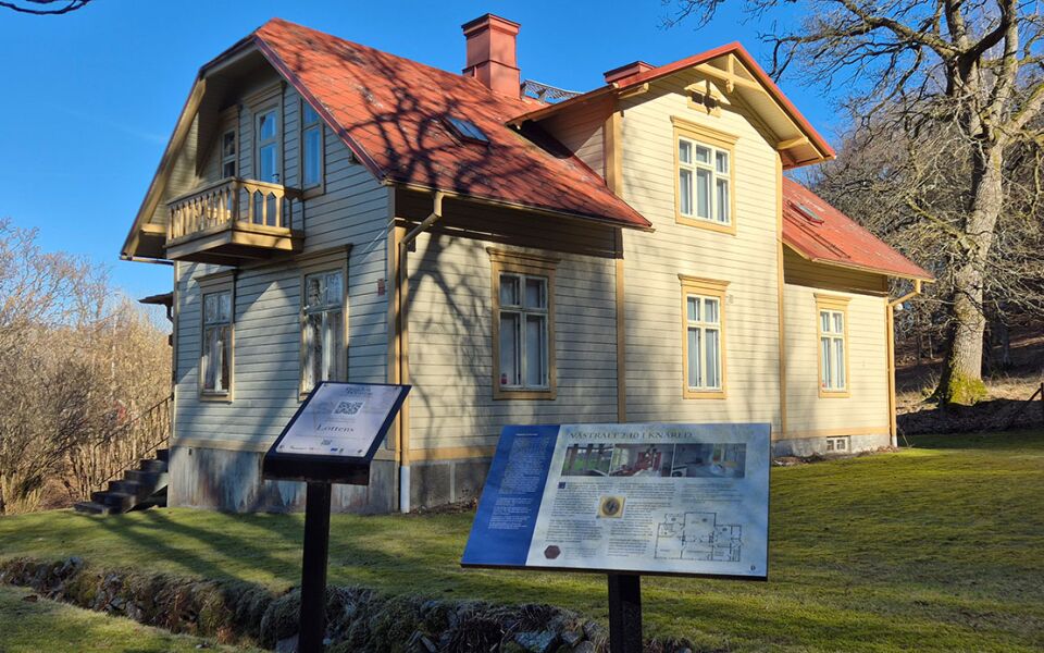
This section crosses the Lagan river and heads towards Västralt, where there is a campsite, and on through beech forests and along roads. From the trail, you can see Vippentorpet, a local Halland ridge-top farmhouse. West of Vippentorpet lie the Midsommarstugan cave and the system of lakes called Hjörneredssjöarna. The trail follows roads past farms and runs along the Smedjeån river at times. A plant called the royal fern grows by the mill bridge in Horsabäck on Smedjeån, and the section’s campsite lies just beyond that. Note: Take great care when crossing highway 15.
Degree of difficulty Blue
The stretch between Knäred and Timmershult runs on forest trails and heads steadily uphill – or downhill if you’re coming from the south. After that, the trail becomes an easy walk on roads of various types, with short stretches on paths.
Places of intrest
Beutiful view over river Lagan
Vippentorpet is a cottage dating to the 1700s
Midsommarstugan cave
Lake Hjörneredssjön
Salmon ladder at Smedjeån River
Royal fern by the River Smedjeån
Accommodation
There are camping sites in Västralt and Ekegården. There is a shelter here for 4–5 adults, a fireplace with firewood and a composting toilet. Both camping sites nestle beautifully in their natural surroundings.
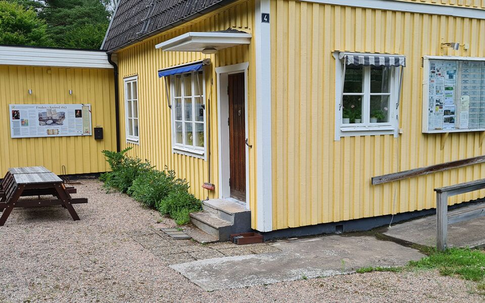
Hotell Freden, Knäred, +46 (0)430 504 00
Flammabadets Camping, Knäred, +46 (0)707 73 60 33
25 km
Degree of difficulty
About Difficulty Grading
The grading is tailored for Swedish lowland trails that adhere to the quality criteria established by the national framework for hiking trails.
Even and firm ground: The terrain is generally flat. The hike requires no need to use your hands for support. No obstacles. Bridges are always present when crossing waterways.
Uneven and/or soft ground: Some changes in elevation. Certain sections may require hand support to maintain balance. There may be obstacles such as low stiles and short stairs. Minor obstacles like stones and roots. Boardwalks are present.
Loose or slippery ground combined with steep sections: Technical parts require hand support. There may be obstacles such as high stiles and longer stairs. Frequent sections with stones and/or roots. Boardwalks with deeper surrounding water.
Note: One or more of these features may be present along the trail section.
Blue
- Sjö
- Utsiktsplats
- 25-35 km
- Hallandsleden
- 15-25 km


Highlights along the section
Here are some of the sights and places to visit along the section.
Recommended hikes
Our recommendations for various hikes – short or long, with or without accommodation.
Show allNews
Here you will find information about what's new on the trail as well as current redirections and disturbances.
Continue on the trail
Share your experience
Share your experience by tagging your photos with #hallandsleden.