
Tunnbinderiet i Knobesholm
Vessigebro - Frodeparken
- Length
- 29 km
- Degree of difficulty
- Blue
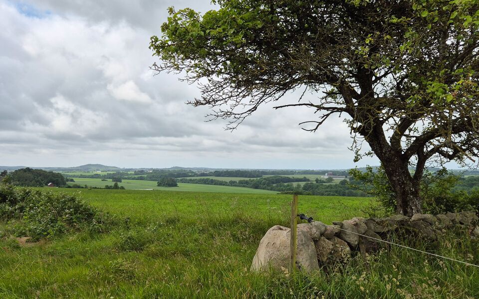
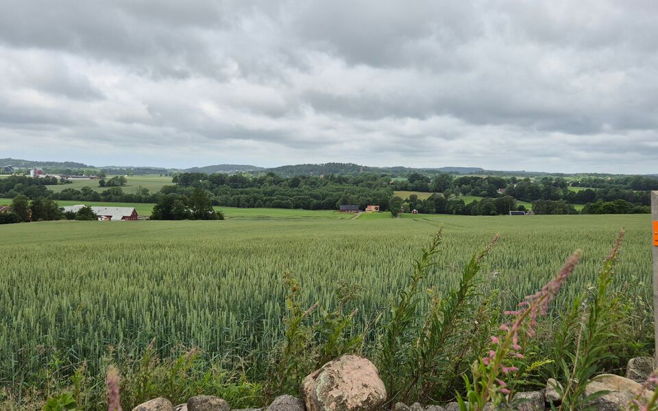
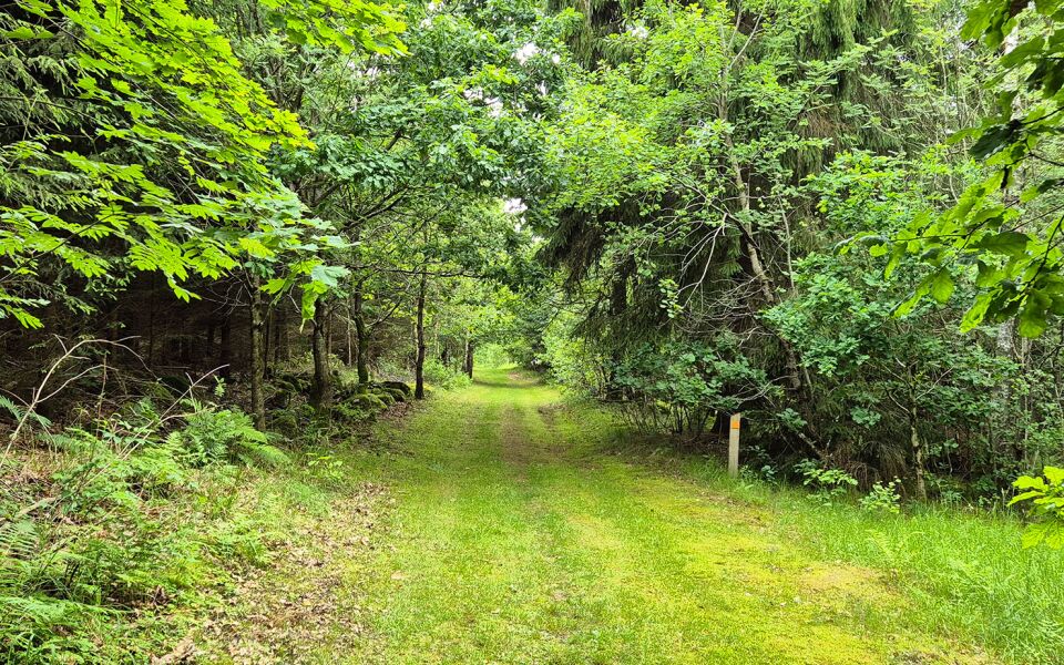
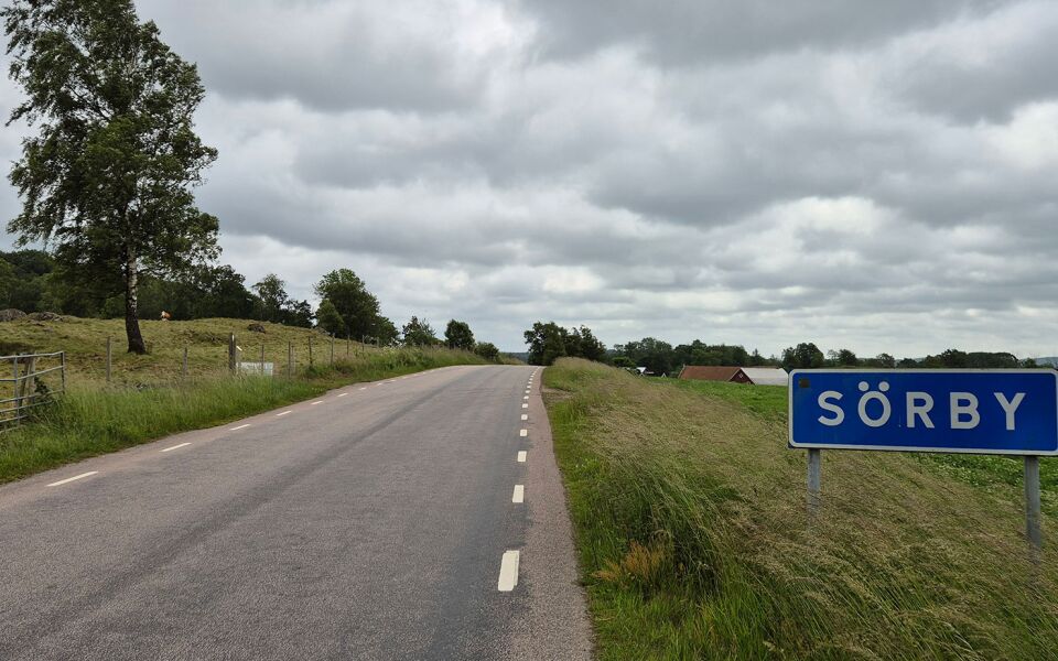
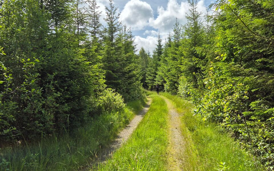
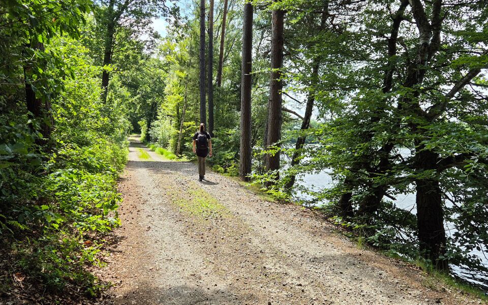
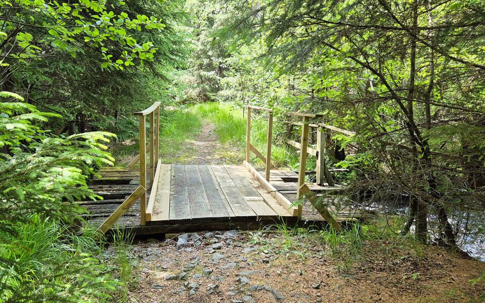
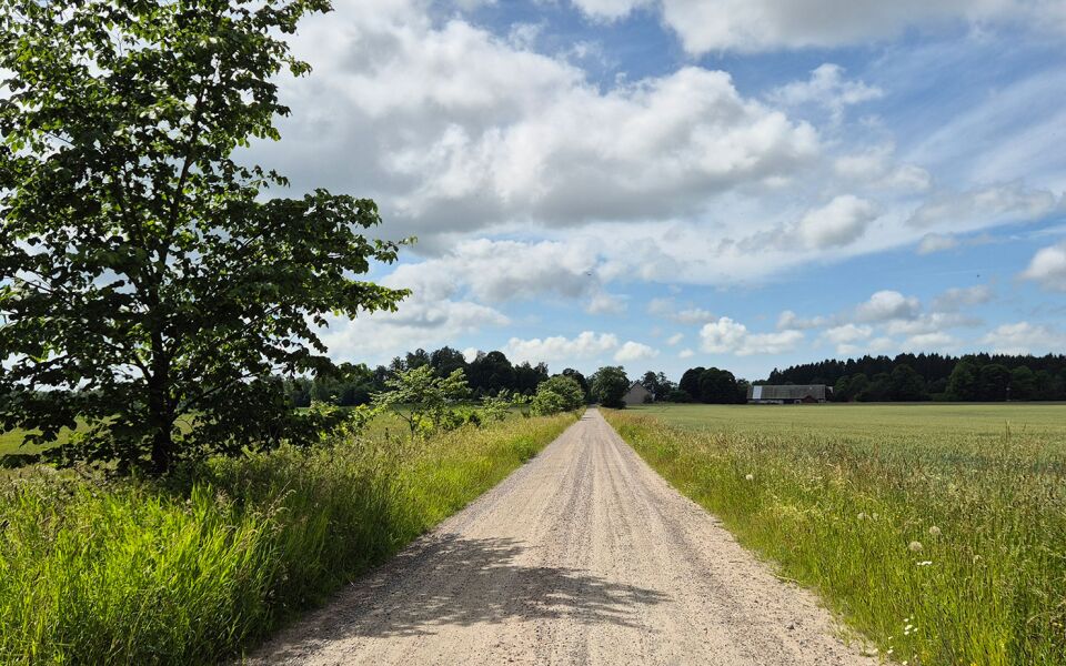
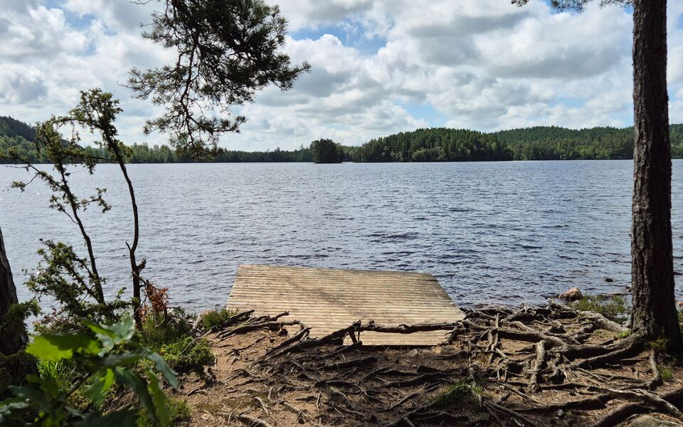
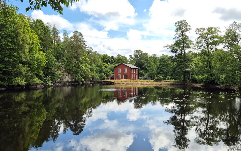
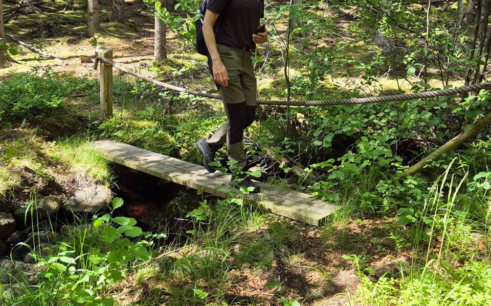
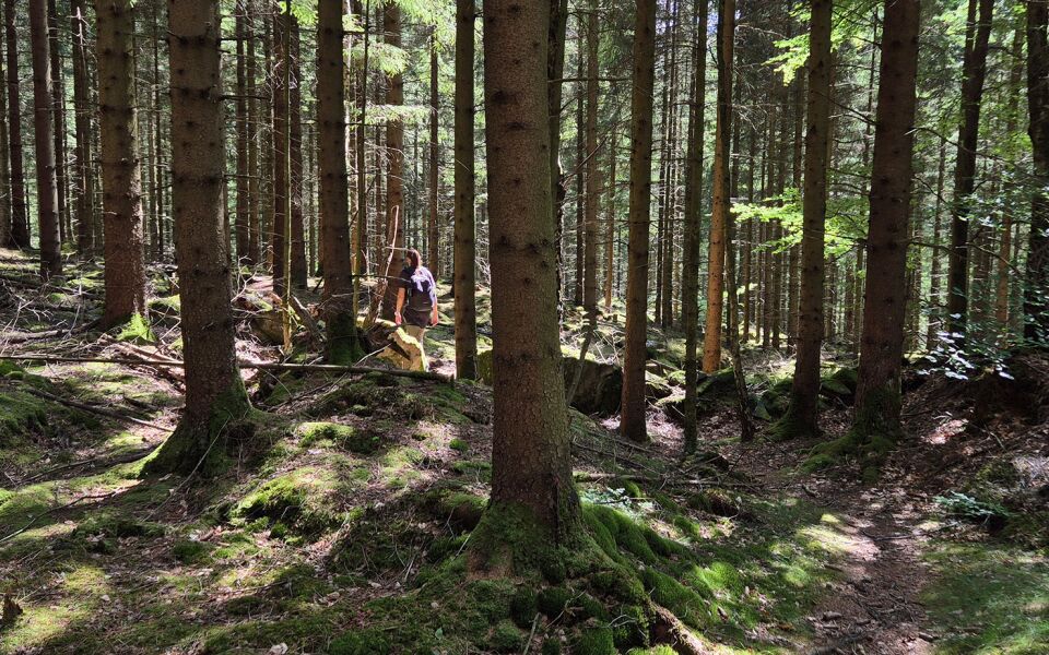
This section runs past Vessige church and a picnic spot, then up a road with wonderful views of the Ätradalen valley. It continues past a large boulder called Jättastenen and through the village of Sörby, before reaching the Skattagård campsite. The trail then heads through Skattagård nature reserve on paved roads towards Abild and on gravel roads through the wind farm to Knobesholm campsite on Borrsjön lake. Take a detour to the old cooperage. Continue over the Suseån river before reaching the campsite in Frodeparken. NOTE: Exercise extreme caution when crossing highway 150.
Things worth seeing on this stage:
Bettys - ruiner efter gården Skattagård
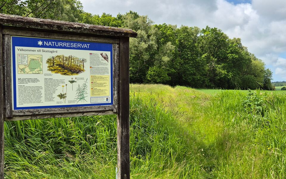
Skattagårds naturreservat
Hjulebergs gods
Abilds Church
Knobesholms gård
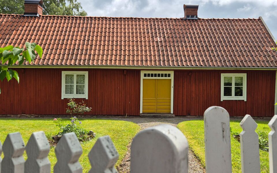
Knobesholms tunnbinderi
Märgelhåla
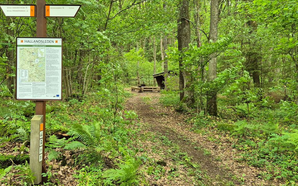
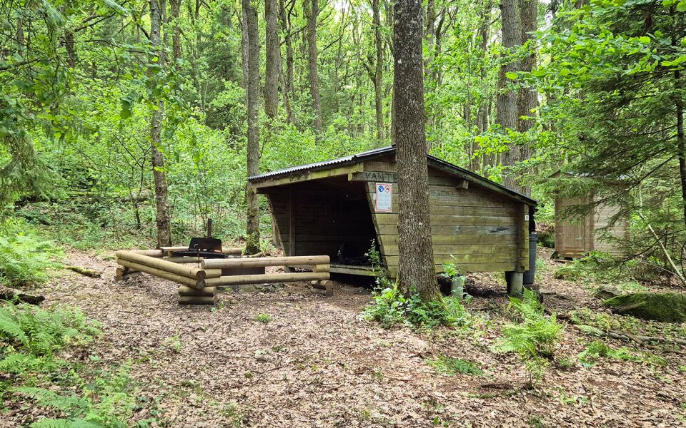
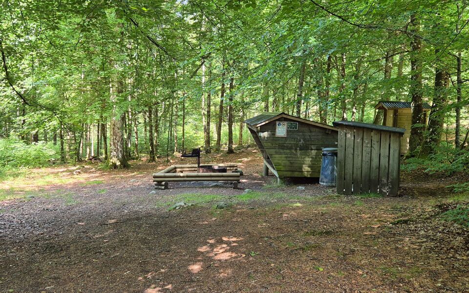
Accommodation
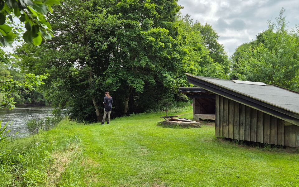
Shelter at Skattegård and Frodeparken. The shelter can accommodate 4–5 adults. At the campsites there are fireplaces and composting toilets.
Pensionat & Pub Ekholmen, Vessigebro
Bed & Breakfast i Sörby, Sörby
Nackagårds Boende, Sörby
Hagbards by, Asige
Sandbolet Rum & Frukost, Asige
Asige Bed & Breakfast, Asige
29 km
Degree of difficulty
About Difficulty Grading
The grading is tailored for Swedish lowland trails that adhere to the quality criteria established by the national framework for hiking trails.
Even and firm ground: The terrain is generally flat. The hike requires no need to use your hands for support. No obstacles. Bridges are always present when crossing waterways.
Uneven and/or soft ground: Some changes in elevation. Certain sections may require hand support to maintain balance. There may be obstacles such as low stiles and short stairs. Minor obstacles like stones and roots. Boardwalks are present.
Loose or slippery ground combined with steep sections: Technical parts require hand support. There may be obstacles such as high stiles and longer stairs. Frequent sections with stones and/or roots. Boardwalks with deeper surrounding water.
Note: One or more of these features may be present along the trail section.
Blue
- Jordbrukslandsskap
- 25-35 km
- Hallandsleden
Highlights along the section
Here are some of the sights and places to visit along the section.
Recommended hikes
Our recommendations for various hikes – short or long, with or without accommodation.
Show allNews
Here you will find information about what's new on the trail as well as current redirections and disturbances.
Continue on the trail
Share your experience
Share your experience by tagging your photos with #hallandsleden.