
Rydöbruk - Kvarnforsen
- Length
- 10 km
- Degree of difficulty
- Green
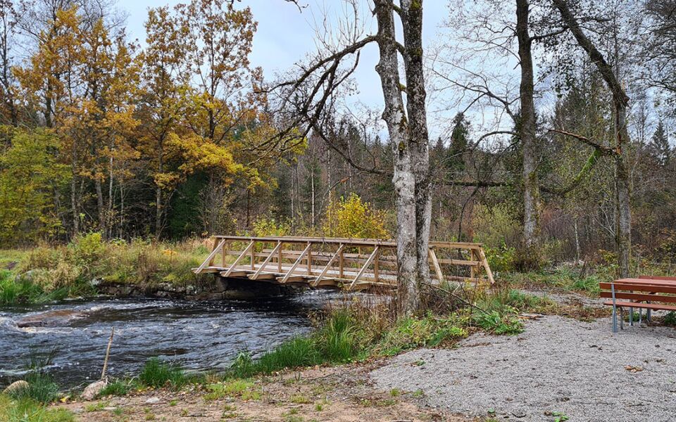
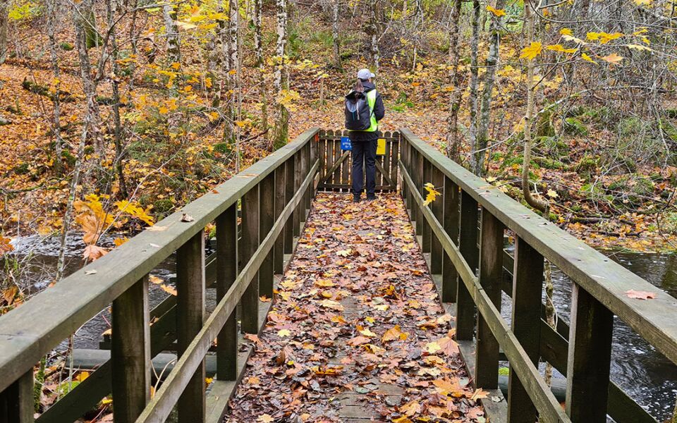
This section crosses the Klubbån river and the drained canal before continuing along paths and forest roads.
It then runs past the remains of Högdal castle and Lahult mill pond, where it crosses Klubbån again, and passes Lahult burial ground before reaching the campsite at Sandsjön. At Gammalsbo, the trail crosses Klubbån for the fourth time and continues through a varied landscape on winding gravel roads up a hill, past farms and Nordsjön lake, before the trail reaches the campsite in Kvarnforsen.
Degree of difficulty Green
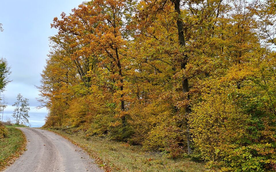
Easy walking on both paved and gravel roads, plus a lovely stretch as far as Sandsjön’s lakeside shelter on a well-trodden path. The route from Rydöbruk up to Lahult is slightly uphill.
Places of intrest
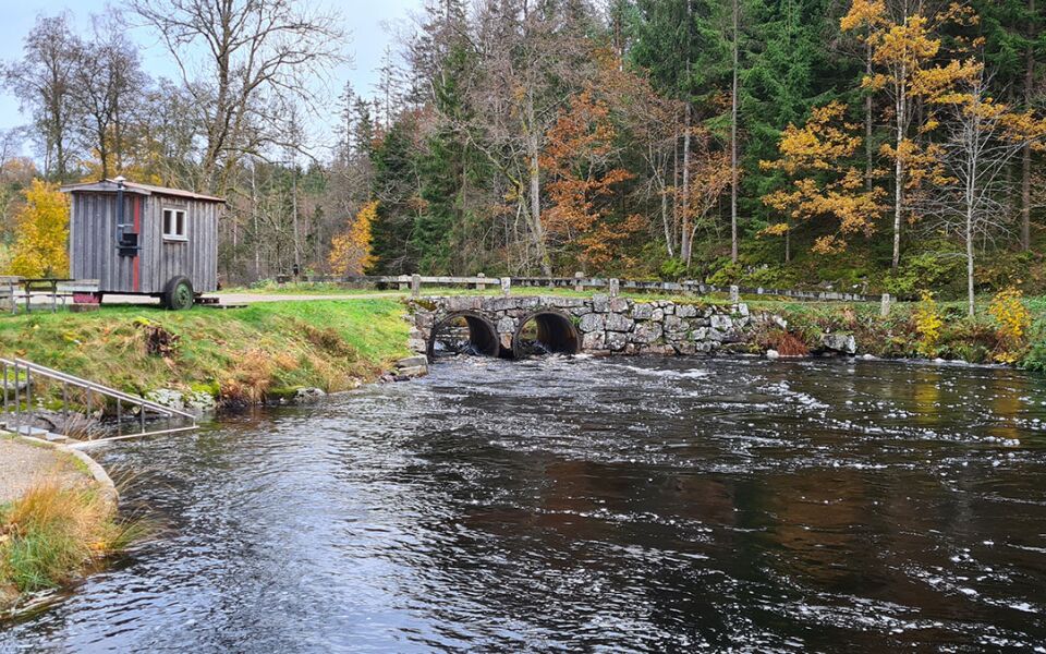
Lahults kvarn
Flottningsrännan
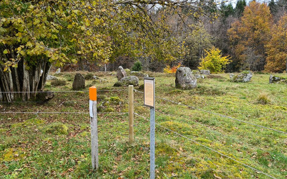
Gravfält vid Lahult med treuddar och domarring
Accommodation
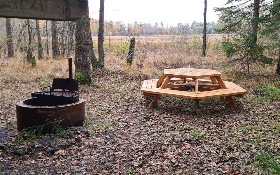
Shelters are available at the camps at Sandsjön and Kvarnforsen, both beautifully situated beside lakes. The shelters can accommodate 4–6 adults. There is a fireplace, dry toilet and rubbish bin.
10 km
Degree of difficulty
About Difficulty Grading
The grading is tailored for Swedish lowland trails that adhere to the quality criteria established by the national framework for hiking trails.
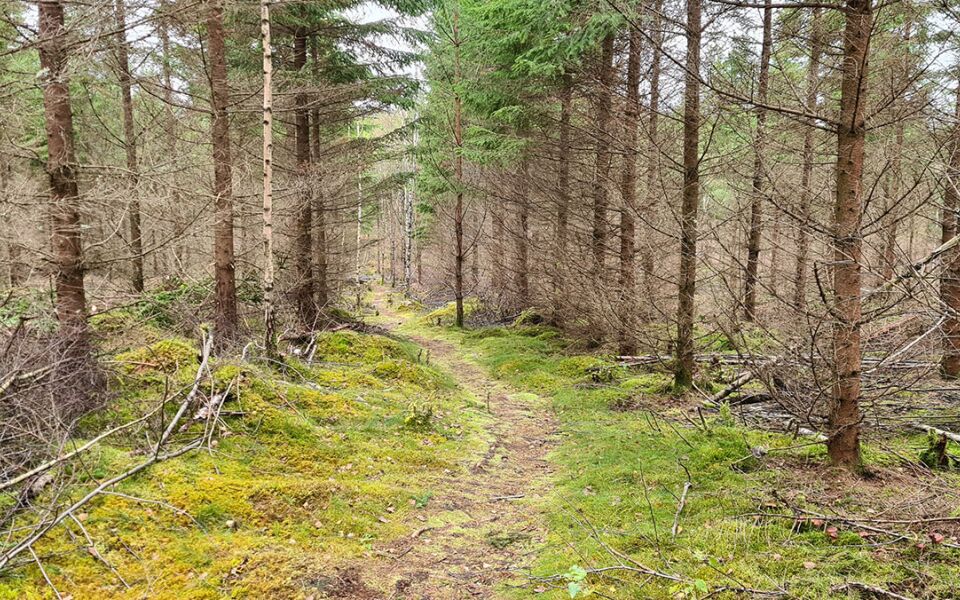
Even and firm ground: The terrain is generally flat. The hike requires no need to use your hands for support. No obstacles. Bridges are always present when crossing waterways.
Uneven and/or soft ground: Some changes in elevation. Certain sections may require hand support to maintain balance. There may be obstacles such as low stiles and short stairs. Minor obstacles like stones and roots. Boardwalks are present.
Loose or slippery ground combined with steep sections: Technical parts require hand support. There may be obstacles such as high stiles and longer stairs. Frequent sections with stones and/or roots. Boardwalks with deeper surrounding water.
Note: One or more of these features may be present along the trail section.
Green
- Sjö
- Barrskog
- 25-35 km
- Hallandsleden
Highlights along the section
Here are some of the sights and places to visit along the section.
Recommended hikes
Our recommendations for various hikes – short or long, with or without accommodation.
Show allNews
Here you will find information about what's new on the trail as well as current redirections and disturbances.
Continue on the trail
Share your experience
Share your experience by tagging your photos with #hallandsleden.