
Region Halland
Veddige - Nösslinge
- Length
- 28 km
- Degree of difficulty
- Red
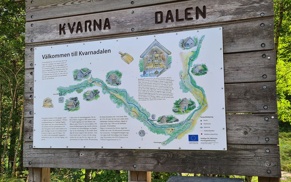
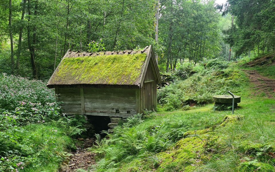
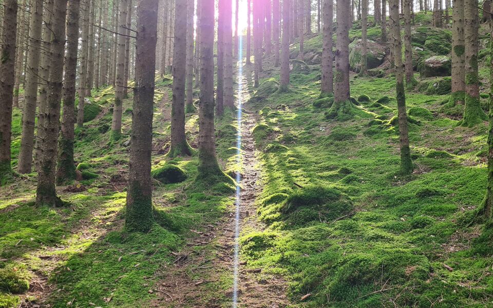
The stage goes along the Viskan River. It then continues on small roads before the trail turns into a nature trail and reaches the Drangstugan campsite after 6 km. The trail passes Kvarndalen, a valley with its well-preserved watermills. It then goes on forest trails, in the hills and through farmland. The end of the hike alternates through on forest roads and nature trails before reaching the campsite at Gällarpesjön.
Degree of difficulty Red
This long section offers many challenges, with steep slopes and paths that can be wet and stony. However, there are also easy stretches on the road.
Things worth seeing on this stage:
Mills in Kvarnadalen
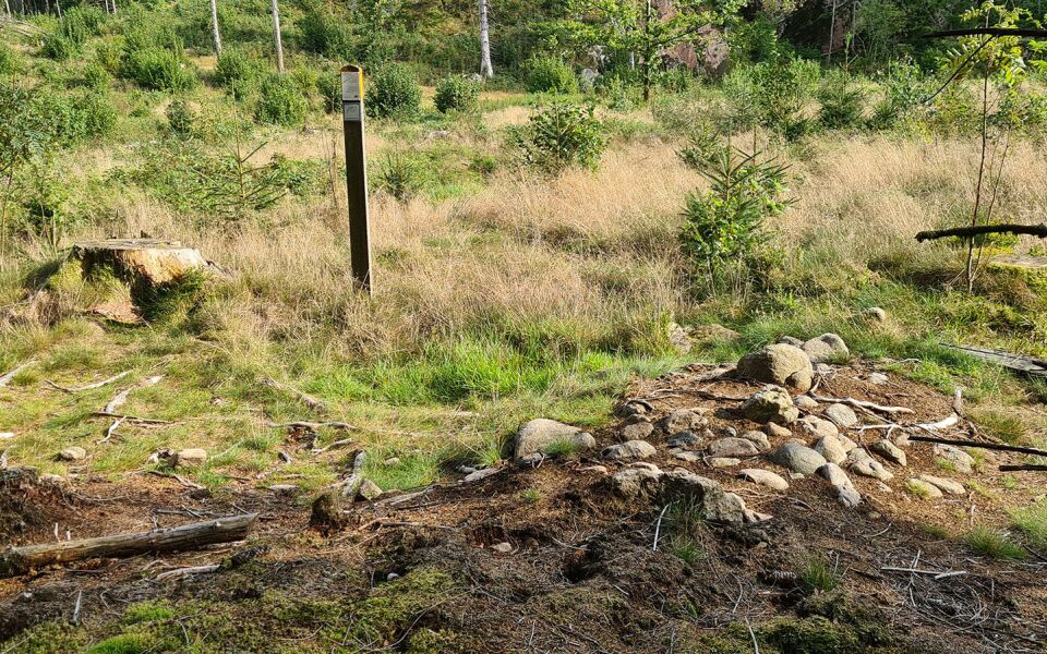
Stensträngar
ACCOMMODATION
Shelter at Dranstugan and at lake Gällarpesjön. The shelter accommodates 4–5 adults and there is a fireplace and a composting toilet.
Gårdakrik Bed & Breakfast, +46 (0)708 301 391, +46 (0)730 342 341
Vandrarhemmet Mäshult, +46 (0)70 648 79 10
Fishing in Lake Gällarpesjön: Lake Gällarpesjön is part of the Stora Neden fish conservation area. The area encompasses the lakes Stora Neden, Gällarpesjön, Furusjön and Gällsjön. Contact Anders and Ingela Åström in Nösslinge on +46 (0)340 930 58 or mobile +46 (0)733 93 69 16.
28 km
Degree of difficulty
About Difficulty Grading
The grading is tailored for Swedish lowland trails that adhere to the quality criteria established by the national framework for hiking trails.
Even and firm ground: The terrain is generally flat. The hike requires no need to use your hands for support. No obstacles. Bridges are always present when crossing waterways.
Uneven and/or soft ground: Some changes in elevation. Certain sections may require hand support to maintain balance. There may be obstacles such as low stiles and short stairs. Minor obstacles like stones and roots. Boardwalks are present.
Loose or slippery ground combined with steep sections: Technical parts require hand support. There may be obstacles such as high stiles and longer stairs. Frequent sections with stones and/or roots. Boardwalks with deeper surrounding water.
Note: One or more of these features may be present along the trail section.
Red
- Sjö
- 25-35 km
- Hallandsleden


Highlights along the section
Here are some of the sights and places to visit along the section.
Recommended hikes
Our recommendations for various hikes – short or long, with or without accommodation.
Show allNews
Here you will find information about what's new on the trail as well as current redirections and disturbances.
Continue on the trail
Share your experience
Share your experience by tagging your photos with #hallandsleden.