
Naturum Fjärås Bräcka, foto Per Pixel Petersson
naturum Fjärås Bräcka - Äskhults by
- Length
- 9.8 km
- Degree of difficulty
- Blue
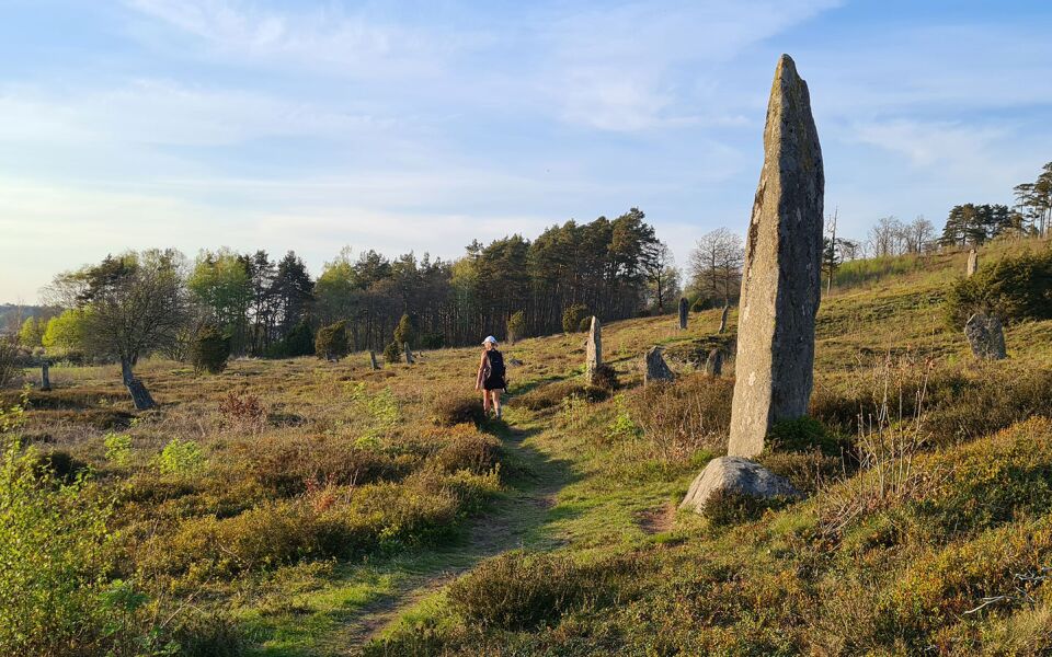
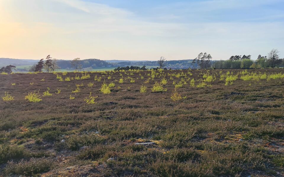
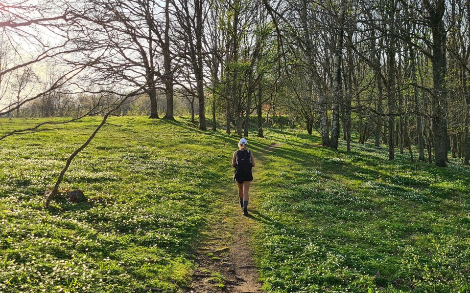
The Naturum Visitor Centre at Fjärås Bräcka is well worth a visit. You’ll also see Li grave field, one of the largest Viking burial sites in Sweden, with more than 100 standing stones. Up on Svalhögen, a gravel hill, there’s an unmissable spot with amazing views. The trail follows the old road, Förlandavägen, up on the Gothenburg moraine. People have been walking along this ridge for a thousand years. The views out over Skärsjön lake are stunning. The campsite for this section is at Äskhult.
Degree of difficulty Blue
This beautiful stage runs on paths and minor roads, with a few slightly steeper slopes, including down to Li grave field and up in the hills south of Skärsjön.
Things worth seeing on this stage:
Naturum Fjärås Bräcka vistors' centre
Cholera cemetery at Fjärås bräcka
Li grave field from the Iron Age
Old Förlandavägen and Via Regia
Accommodation
Shelter at Äskhult. The shelter can accommodate 4–5 adults, and there is a fireplace with firewood. Watertoilet at Äskhult village.
Stättareds vandrarhem, +46 (0)340 30003
Finas Torpgård Bed & Breakfast, +46 (0)340 65 25 02
Skårs Gård, +46 (0)300 54 20 07
9.8 km
Degree of difficulty
About Difficulty Grading
The grading is tailored for Swedish lowland trails that adhere to the quality criteria established by the national framework for hiking trails.
Even and firm ground: The terrain is generally flat. The hike requires no need to use your hands for support. No obstacles. Bridges are always present when crossing waterways.
Uneven and/or soft ground: Some changes in elevation. Certain sections may require hand support to maintain balance. There may be obstacles such as low stiles and short stairs. Minor obstacles like stones and roots. Boardwalks are present.
Loose or slippery ground combined with steep sections: Technical parts require hand support. There may be obstacles such as high stiles and longer stairs. Frequent sections with stones and/or roots. Boardwalks with deeper surrounding water.
Note: One or more of these features may be present along the trail section.
Blue
- Hallands största sjö Lygnern
- Naturum
- Sjö
- 7-15 km
- Hallandsleden


Highlights along the section
Here are some of the sights and places to visit along the section.
Recommended hikes
Our recommendations for various hikes – short or long, with or without accommodation.
Show allNews
Here you will find information about what's new on the trail as well as current redirections and disturbances.
Continue on the trail
Share your experience
Share your experience by tagging your photos with #hallandsleden.